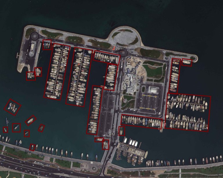
At GNO-SYS we support our clients in creating meaningful products and answers from their data. If you have an acquisition framework and plans to scale up, your data processing system will need to scale too. We build clients scalable, reliable, and automated data processing chains from raw data to a polished product. Our team has expertise in processing millions of square kilometers of data and developing global analysis capabilities through customized scalable cloud technology.


Our clients benefit from the precision and depth of insights derived from geospatial data, enabling them to make informed decisions with confidence. Whether it’s creating detailed digital twins for urban planning, extracting key features for environmental monitoring, or enhancing navigation accuracy for autonomous vehicles, our services empower clients to extract maximum value from their geospatial data. The seamless integration of state-of-the-art technologies and platforms keeps our clients at the forefront of innovation, enabling them to stay ahead in an ever-evolving landscape.
Leveraging LiDAR, SAR, imagery, and multi-spectral imagery, we cater to a diverse range of needs across various platforms including Mobile, Airborne, or Space based. Our expertise extends to a multitude of processes, including mosaic creation, digital twins, feature extraction, orthorectification, tiling, classification, and more. By seamlessly integrating navigation processing, data validation, calibration, data fusion, and data alignment, we provide a comprehensive suite of services tailored to meet the unique demands of geospatial data analysis.


For enterprises with extensive data, such as aerial imagery and Lidar, we offer seamless processing and comprehensive management services. Our data management helps you to manage complex geospatial petabytes across multiple datasets, and easily search and access the data you need.
We cater to consultants and industry specialists who require derivative products promptly. We confidently declare, “We’ll manage it for you,” encapsulating our commitment to providing reliable and efficient spatial data solutions.
"The global market for Geospatial Analytics is projected to grow from US$ 76.5 billion in 2020 to US$ 149.4 billion by 2028, at a CAGR of 10.2% during the forecast period."
Source: www.marketsandmarkets.com
Data bogging you down? Leveraging our GNOde framework, we use scalable technology to accelerate and automate processing. By creating customized workflows we can accelerate routine tasks such as generating datasets or, running analytics. Specifically designed for large corporations grappling with vast datasets our customers benefit from reduce costs and faster time to market.
