gno-sys technologies

Design. Develop. Deploy. Discover.

Custom end-to-end geospatial solutions.
Learn More

Discover what your data can do with GNOde.

GNOde enhances your data's potential with advanced processing capabilities, enabling access, search, and analysis from any device to optimize operational efficiency.
DISCOVER
Previous slide
Next slide

We love working with companies that tackle big and complex problems using location-based information.

At GNO-SYS, we help companies design, develop, and deploy geospatial and remote sensing systems. We offer scalable, reliable, and automated data processing and help innovate sensor technology from development to deployment.

We work with a wide range of companies, including aerial and satellite data collection companies using lidar, radar, hyperspectral, and other sensors, and industries like methane and emissions monitoring, utilities, oil and gas, forestry, and the environment.

We believe in the power of combining technical proficiency with creative problem-solving to make geospatial technology a genuine force for positive change.


COMMITTED TO YOUR SUCCESS

By choosing GNO-SYS, you enhance your business with our unwavering commitment to your intellectual property ownership and competitive advantage. We provide expert guidance and predictions using diverse sensor and technology expertise, tailored solutions, and actionable insights. As collaborative partners, we seamlessly integrate into your operations, delivering end-to-end solutions that optimize performance and drive success.

DESIGN
Custom Remote Sensing Systems

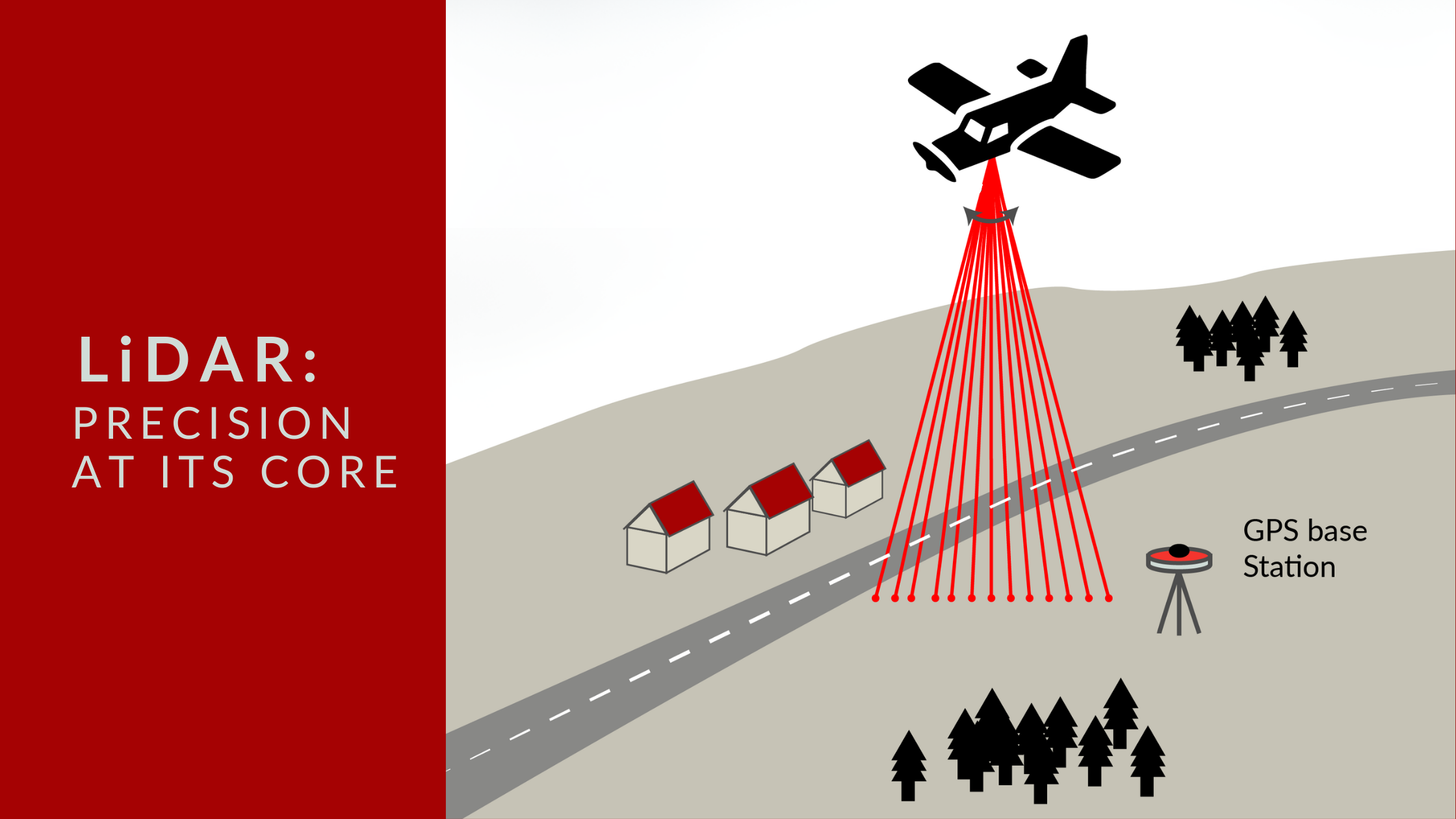
Our team excels in designing customized remote sensing systems, including SAR, LiDAR, and optical technologies, tailored to meet your specific project requirements.

  • Mechanical Design
  • Electronics and Integration
  • Command and Control
  • Comprehensive Planning


CREATE YOUR SOLUTION

DEVELOP
Comprehensive Development

Once the design is finalized, our team meticulously builds your product, whether it's hardware or custom software.

  • Hardware Build
  • Rigorous Testing
  • Custom Software Solutions
  • Project Management


BUILD YOUR PRODUCT

DEPLOY
Integrate and Scale your System

Our system engineering services ensure all components work harmoniously, from positioning and timing to multi-sensor integration, creating a cohesive and efficient system.

  • System Engineering and Integration
  • Installation
  • Team Training
  • Intellectual Property and Scaling


LAUNCH YOUR SYSTEM

DISCOVER
Optimize your Data

Our processing solutions automate data handling and offer clear visualizations, streamlining decision-making and boosting productivity.

  • Optimized Data Processing
  • Automation and Visualization
  • Centralized Data Management
  • Customized Third Party Integrations


EXPLORE YOUR DATA

TRUSTED BY

enbridge-logo-b&w

THE LATEST ON THE BLOG

How We Design Custom Systems to Achieve the Best Possible Outcome

Many factors must be closely assessed when designing custom remote sensing systems. Whether using SAR, Optical Imagery, or Near Infrared, each system must align with the specific needs of the client and the data needed. From resolution to data collection to platform integration to budget, the timeline for all factors must be assessed for optimal results.

Read More »
Internet of behaviour (IoB)

Location Intelligence and the “Internet of Behaviour”

Have you ever wondered how much your location data can tell about your daily habits? With the increasing adoption of Internet of Things (IoT) devices, this data is becoming a goldmine for understanding human behavior. In fact, a report predicts that by 2030, 75% of all devices will be IoT devices. Welcome to the era of the ‘Internet of Behaviour’ (IoB), where geospatial technology is taking center stage.

Read More »