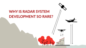
Mapping with Radar: Why So Few Can Do What We Do
Radar has earned a reputation in remote sensing for being among the most powerful and complex technologies to work with. While satellite radar systems have
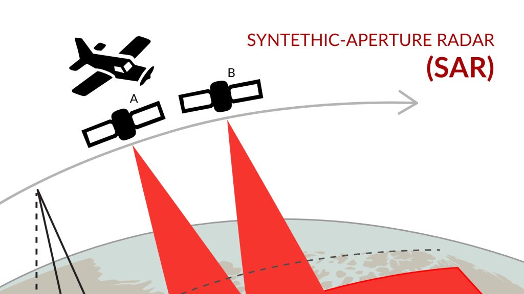
When it comes to high-resolution imaging for both airborne and space applications, Synthetic Aperture Radar (SAR) systems provide unique advantages. SAR technology, increasingly popular over the past decade in satellite imaging, enables precise, high-resolution data collection that traditional optical systems can’t match, especially in challenging conditions. For satellites, particularly those in Very Low Earth Orbit (VLEO), SAR offers real-time monitoring and data acquisition, unaffected by darkness or cloud cover.
We specialize in designing compact, lightweight, and power-efficient SAR systems that integrate seamlessly with various platforms. Our SAR solutions include advanced timing generators, high-power transmitters, and sophisticated data capture modules, ensuring precision and reliability across mapping, surveillance, and scientific research applications.
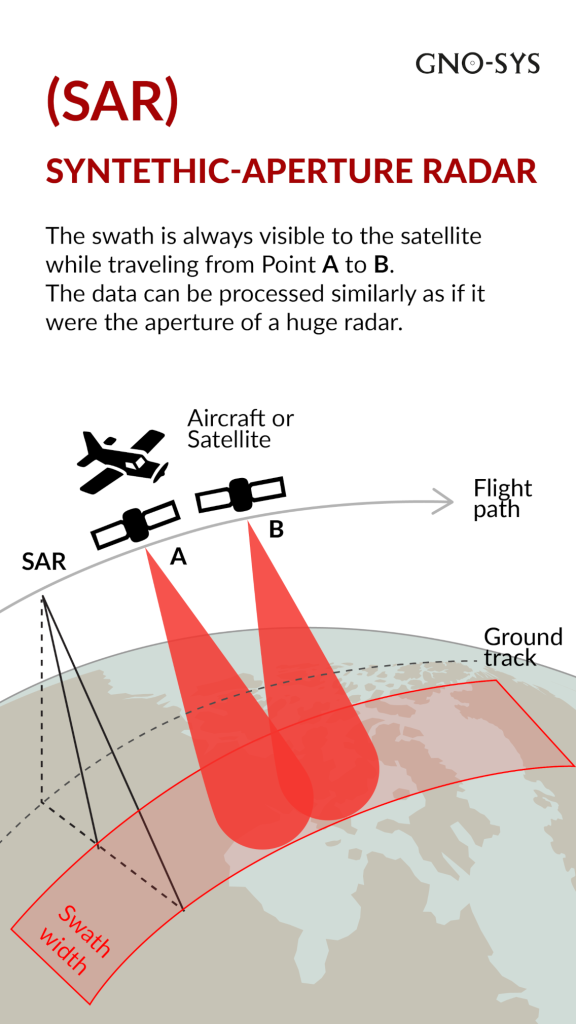
Synthetic Aperture Radar (SAR) is a form of radar used in remote sensing. Unlike traditional imaging systems that rely on reflected light, SAR generates its own radar pulses, which it then measures as signals bounce back from the Earth’s surface. This active sensing capability allows SAR to capture high-resolution images regardless of lighting or weather conditions. SAR’s unique imaging ability is particularly useful for tracking changes over time, as it can deliver data day or night and through cloud cover.
Creating a successful SAR solution begins with a clear understanding of the client’s specific objectives, whether that’s vessel detection, environmental monitoring, or precise topographical mapping. Different applications require unique SAR configurations, and we tailor each system based on factors like data requirements, platform integration, and environmental conditions.
In marine environments, SAR offers exceptional benefits for change management and monitoring. SAR technology can operate around the clock and penetrate cloud cover, making it an ideal tool for monitoring maritime activities, mapping coastal changes, and managing marine ecosystems.
SAR systems are distinguished in the remote sensing world for their ability to deliver clear, high-resolution images in any environment. Unlike passive systems, SAR is an “active” sensing technology, meaning it produces its own energy and measures the reflected signals back from the Earth’s surface. This allows SAR to overcome limitations such as low visibility and adverse weather, making it a powerful tool for diverse industries, from environmental science to defense.

Radar has earned a reputation in remote sensing for being among the most powerful and complex technologies to work with. While satellite radar systems have
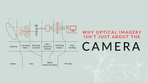
When we set out to develop a high-performance optical imaging system, we start where many do – testing commercial off-the-shelf cameras. The idea was simple:
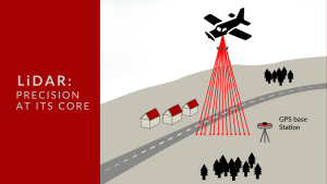
At GNO-SYS, we specialize in engineering LiDAR systems that deliver precise distance measurement and topographic mapping. Currently, our team is engaged in an exciting project to develop a custom LiDAR system tailored for a specialized application.