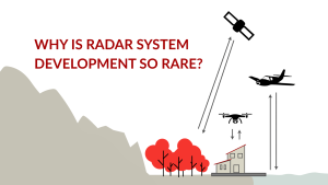
Mapping with Radar: Why So Few Can Do What We Do
Radar has earned a reputation in remote sensing for being among the most powerful and complex technologies to work with. While satellite radar systems have


Radar has earned a reputation in remote sensing for being among the most powerful and complex technologies to work with. While satellite radar systems have
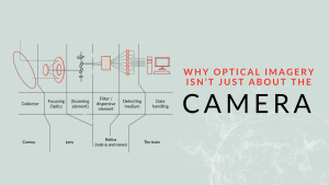
When we set out to develop a high-performance optical imaging system, we start where many do – testing commercial off-the-shelf cameras. The idea was simple:

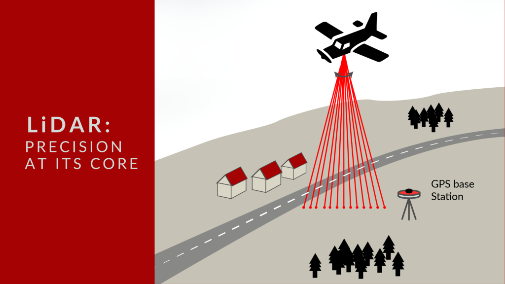
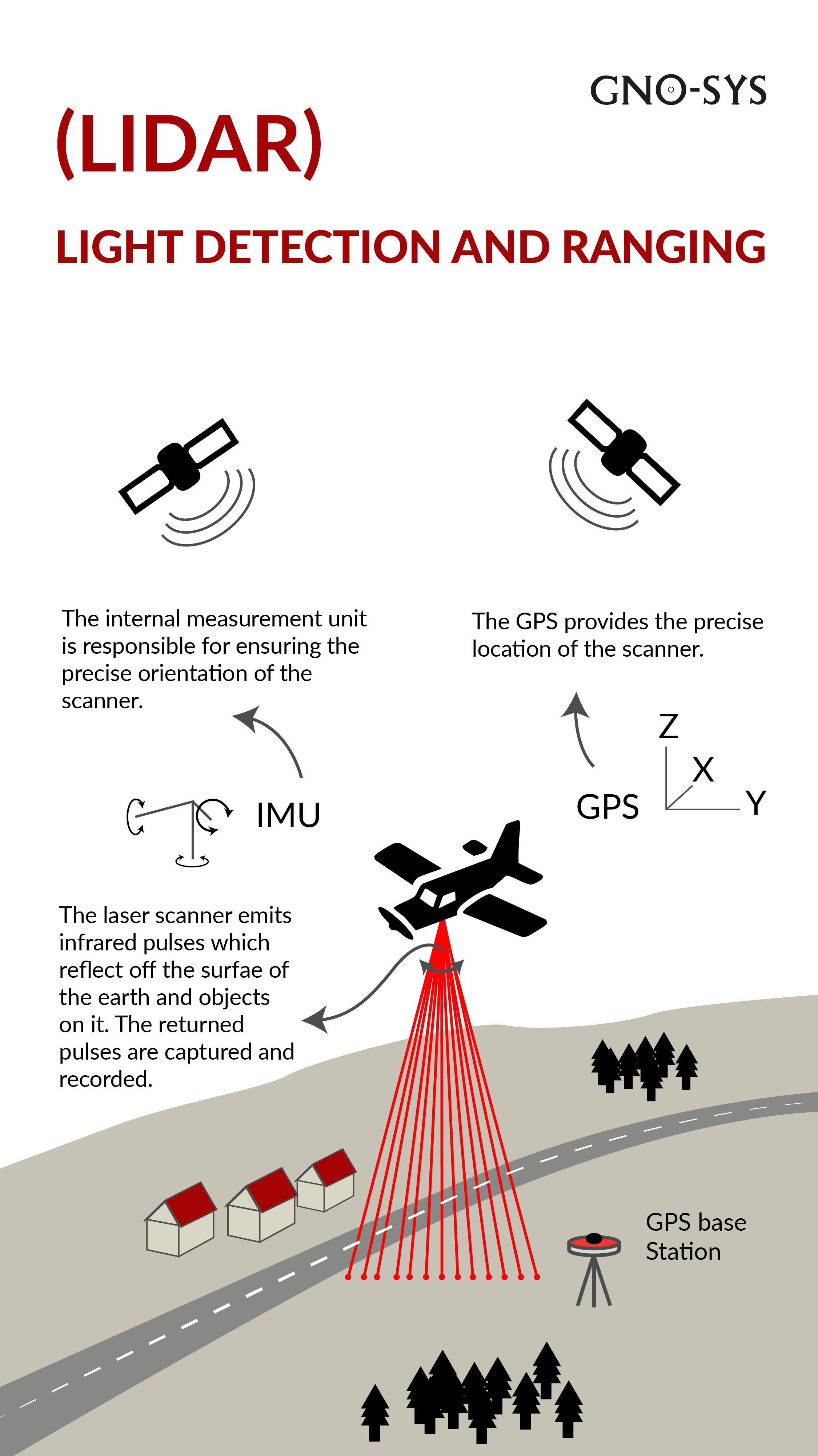
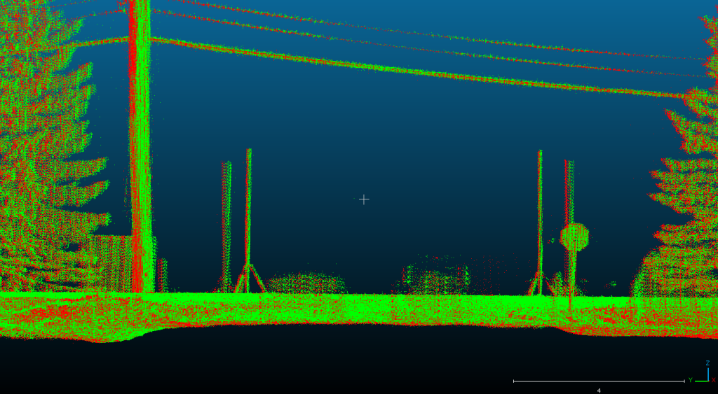
At GNO-SYS, we specialize in engineering LiDAR systems that deliver precise distance measurement and topographic mapping. Currently, our team is engaged in an exciting project to develop a custom LiDAR system tailored for a specialized application.