
How we build and “operationalize” geospatial systems for space companies

Creating geospatial infrastructure into a
reliable, repeatable, and robust system
that allows anyone to collaborative and create products from data collected in space
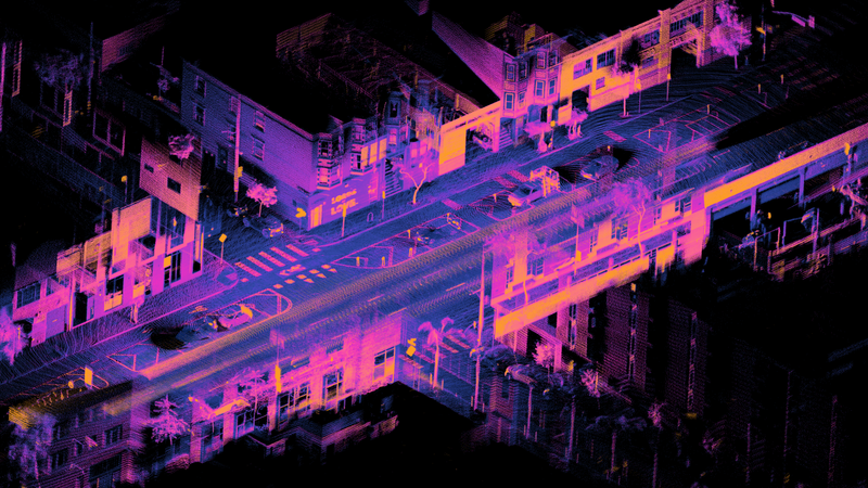
Why LiDAR Data Organization is Critical to Automation

LiDAR Data is expensive to collect, and when you’re operating multiple sensors you need to manage all that data properly. Learn about the value of a consistent data structure and how it unlocks automation
Stages of a LiDAR survey
LiDAR Surveys are becoming more and more common as the technology evolves.
Regardless of the survey specifics, GNO-SYS has found that clients succeed best when they follow these steps.