

Crafting an Automation Strategy: A GNODe Guided Approach
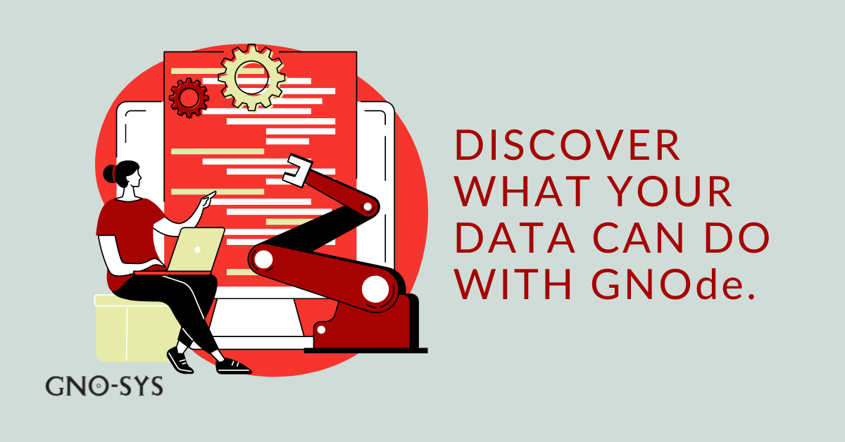
Discover the importance of a data automation strategy and learn about the GNOde Guided Approach. Optimize your data processes with customized workflows, API integration, and scalable solutions for enhanced efficiency and productivity.