
Data Processing vs. Data Management – Helping find the value in your data

Data Processing vs. Data Management – Finding value in your data In today’s data driven world, organizations and individuals rely heavily on the effective handling and use of data. When done correctly we can assess and gain valuable insights from data which allows for informed decision-making, technological progress and further promoting innovation. Two components that […]
GNO-SYS guide to a seamless sensor integration
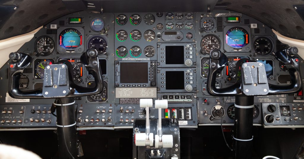
GNO-SYS guide to a seamless sensor integration Recently we had the privilege of supporting IO Aerospace in the integration of sensor technology on their newly transformed IO Special Missions Platform. With our expertise in sensors, we were brought in to support the installation and ensure a smooth integration process. However, this is just one step […]
NORTH51 Highlights & Recap

NORTH51 Highlights & Recap This month we had the privilege of gathering with thought leaders and innovators from all around the world at the NORTH51 Conference in Banff, Alberta. It was an honor to partner with Sparkgeo to bring back this event for its fifth year. During the conference we were immersed in a wealth […]
Growing Geothermal Energy

GNO-SYS will be working with 4th Resource to aid in development of geothermal resources around the world.
Indexing LiDAR Datasets with STAC Collections

Understanding STAC Spatio-Temporal Asset Catalog (STAC) specification provides a common structure for describing and cataloging spatiotemporal data products in a uniform, extensible manner. The STAC specification is composed of four semi-independent components which can be used alone but work best in concert with each other. The four components are as follows: STAC Catalog The Catalog […]
How we build and “operationalize” geospatial systems for space companies

Creating geospatial infrastructure into a
reliable, repeatable, and robust system
that allows anyone to collaborative and create products from data collected in space
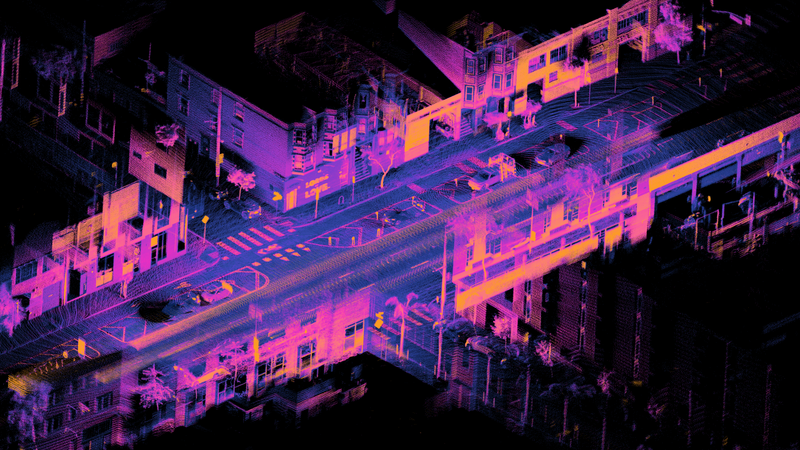
Why LiDAR Data Organization is Critical to Automation

LiDAR Data is expensive to collect, and when you’re operating multiple sensors you need to manage all that data properly. Learn about the value of a consistent data structure and how it unlocks automation
Stages of a LiDAR survey
LiDAR Surveys are becoming more and more common as the technology evolves.
Regardless of the survey specifics, GNO-SYS has found that clients succeed best when they follow these steps.